 |
|
The Meteorological Centre Srinagar has issued a weather forecast predicting two consecutive Western Disturbances (WDs) to impact Jammu and Kashmir (J&K) and its surrounding regions starting January 1st. This forecast follows a period of dry weather anticipated from December 29th to 31st. The first WD, expected to be relatively weak, will likely bring generally cloudy conditions with light snowfall at scattered locations between the evening of January 1st and the morning of January 2nd. This initial period of snowfall is expected to be relatively limited in both intensity and geographical coverage.
A more significant weather event is anticipated from January 3rd to 6th, driven by a second, more intense WD. This period is projected to bring cloudy skies and light to moderate snowfall to numerous areas in the Kashmir division, and to scattered locations within the Jammu division. The potential for heavier snowfall, particularly in higher elevations, during this period cannot be ruled out. The increased intensity and duration of this second WD suggests a greater accumulation of snow compared to the first disturbance.
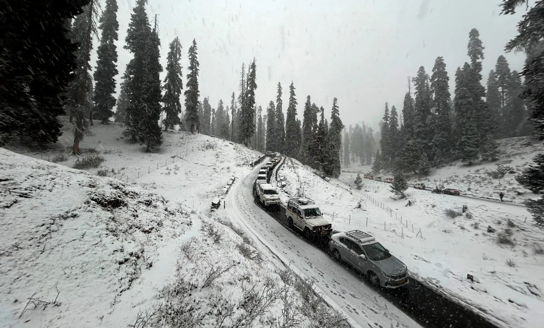
Beyond the snowfall itself, the forecast includes warnings about potential cold wave conditions in isolated areas on December 30th and 31st, indicating a continuation of existing frigid temperatures. These conditions, coupled with the anticipated snowfall, will undoubtedly lead to sub-freezing temperatures and icy road conditions in both the plains and higher elevations of J&K. This raises serious concerns about road safety and travel conditions, potentially causing significant disruptions to transportation and tourism.
Given the anticipated severe weather conditions, a crucial aspect of the forecast is the urgent appeal for caution to tourists, travelers, and transporters. The Meteorological Centre explicitly advises these groups to diligently follow all official advisories issued by the relevant administrative and traffic departments. This recommendation highlights the potential for significant disruption and hazard associated with the predicted snowfall and icy conditions. Heeding these warnings could significantly reduce the risk of accidents and ensure the safety of individuals traveling in the region during this period.
The impact of the predicted weather events extends far beyond mere inconvenience. The snowfall can lead to power outages, disruption of essential services, and difficulties in accessing remote areas. Farmers might experience damage to crops, and the general public will face challenges in daily routines. The authorities in J&K will undoubtedly need to be prepared for emergency situations, including potential road closures, rescue operations, and the provision of essential supplies to affected communities. The extent of the impact will depend on the precise intensity and trajectory of the WDs, factors that remain subject to some degree of uncertainty.
In conclusion, the forecast issued by the Meteorological Centre Srinagar highlights a serious weather event poised to impact J&K. The combination of two WDs, one weak and one moderately intense, promises a substantial period of snowfall, cold waves, and hazardous travel conditions. The timely warning and the strong emphasis on adherence to safety advisories are critical steps in mitigating the potential negative consequences of this impending weather system. Ongoing monitoring of the situation and timely updates from the Meteorological Centre will be crucial in ensuring the safety and well-being of the population of J&K during this challenging period. The potential for significant disruption necessitates a proactive and coordinated response from all relevant authorities and individuals in the region.
Source: Two WDs likely to hit J&K from Jan 1, bring more snow: MeT
